 +420 284 684 535
Topographic survey
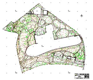
Reconstruction of the park Havlíčkovy sady, Praha 2, 2002-2004
- topographical plans of all scales
- provision expression of underground utilities administrators
- drawing of underground utilities (f.e. pipes, cables, sewers…)
- 3D modelling
- sections of terrain and water courses
- surveying and calculations of cubic capacity
- setting-out networks and plans
- underground utilities detection
- obtaining of land cadastre boundaries
- real estate ownership report